
Background:
Many national and provincial borders are defined in highly arbitrary fashions that have no underlying geographical rationale: these often appear as straight lines on a map, frequently passing through uninhabitable wastelands.
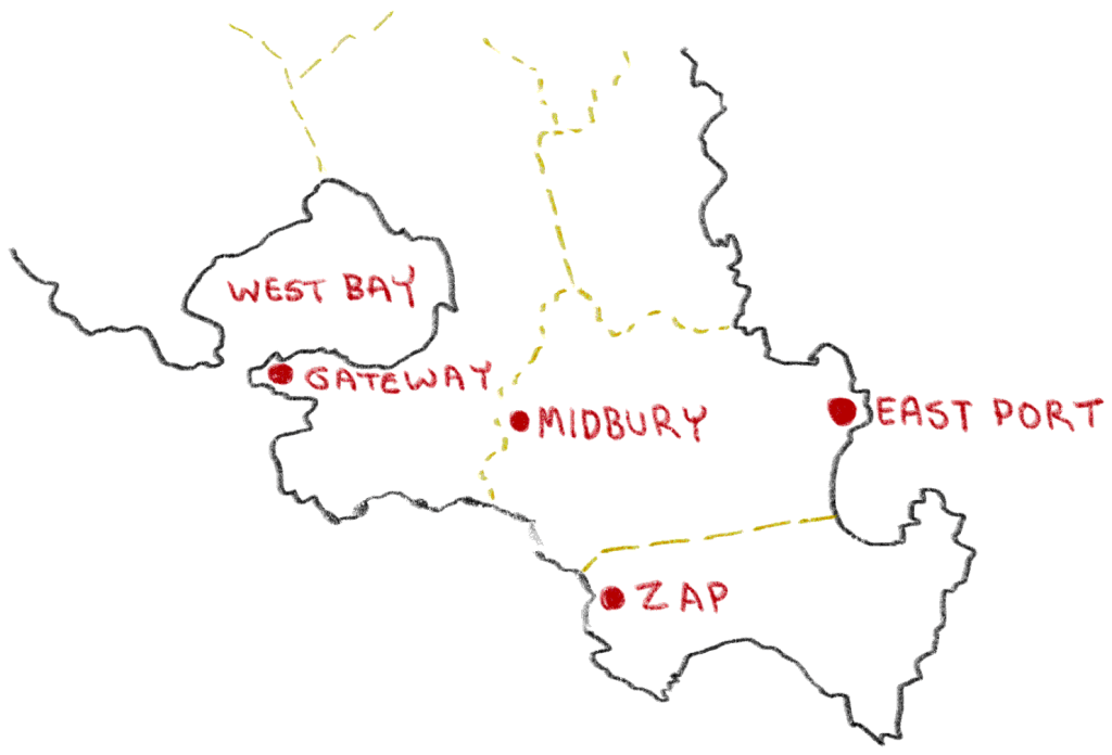
For this proposal, we’ll discuss borders that satisfy these criteria:
- Border region is uninhabited.
- Border region has no strategic value.
- Border region has no resource-extraction potential.
Proposal:
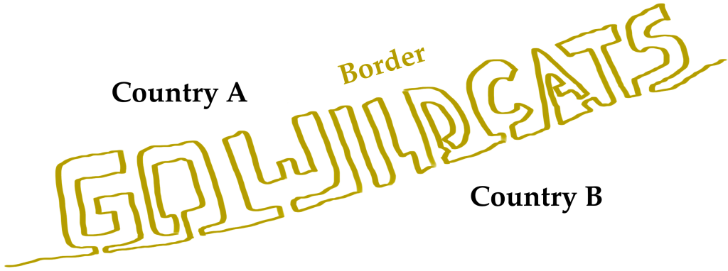
For hundreds of years, countries have had a perfect opportunity to define a border in such a way as to write whatever text they desire (Figure 2)—yet somehow this has never been implemented in practice!
Although large-scale geology-based drawings do exist, like the Nazca Lines in Peru, these have the property of actually existing in physical reality, and not just being abstract map borders.
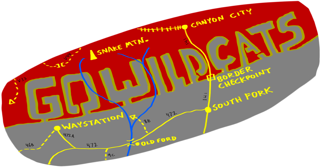
This kind of border-writing is the ultimate billboard—visible to everyone, everywhere, night and day.
Conclusion:
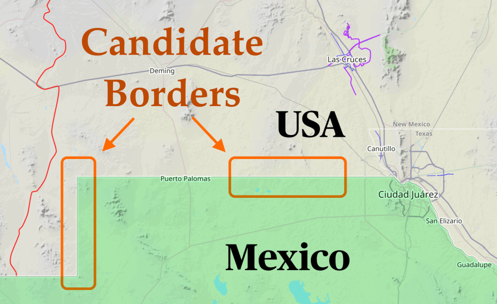
Almost any straight border that runs through a desert (e.g. Figure 4) would be a great “blank canvas” for border writing.
PROS: By selling “border text” to the highest bidder, governments could reduce the tax bills for their own citizenry. Or, they could antagonize their foes by changing internal borders (e.g., two provinces within one country) to spell out taunting messages!
CONS: Inevitably, as soon as one nation cedes a tiny bit of land to spell, for example “USA #1!,” a valuable mineral deposit will be found on that ceded land. This might cause international conflict.

You must be logged in to post a comment.